
The Lake Superior Reserve conducts basic and applied scientific research while partnering with scientists from universities and public agencies. The current research program focuses on coastal systems including water quality, terrestrial and wetland ecology, invasive species, estuarine processes, and drivers of change in the context of climate change and human activity on the landscape. This work is used to inform the management and restoration of the land and waters in the region.
Ongoing Research
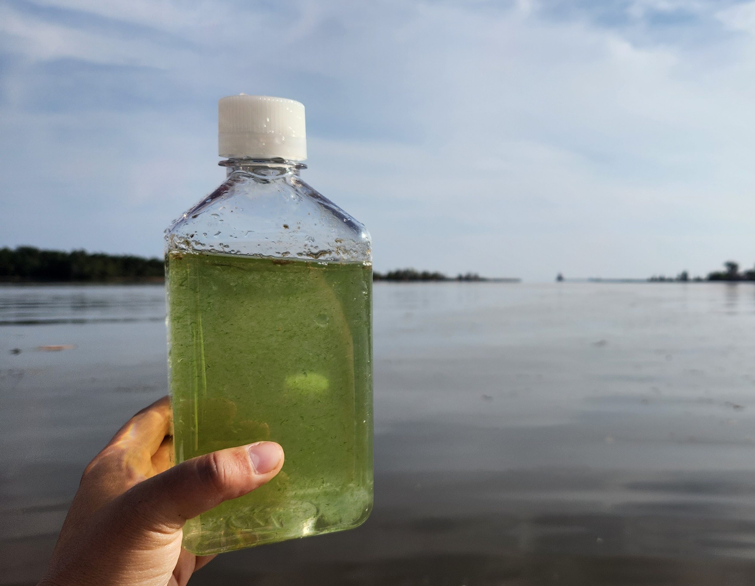
Harmful Algal Blooms
The St. Louis River Estuary is nearing removal from the list of Great Lakes Areas of Concern, but new challenges such as harmful cyanobacteria blooms are emerging. In 2023 and 2024, Reserve scientists closely monitored water quality and phytoplankton at eight high-risk locations to better understand when and where blooms occur, what environmental conditions drive them, and how to improve long-term monitoring. The study found that blooms were linked to warm temperatures, calm weather, and late-summer drought conditions, with a notable large bloom in October 2023. By analyzing patterns across sites and seasons, the team identified ways to streamline future monitoring, focusing on late summer at the most vulnerable locations. These findings will help guide a collaborative, efficient strategy to protect the estuary’s health into the future.
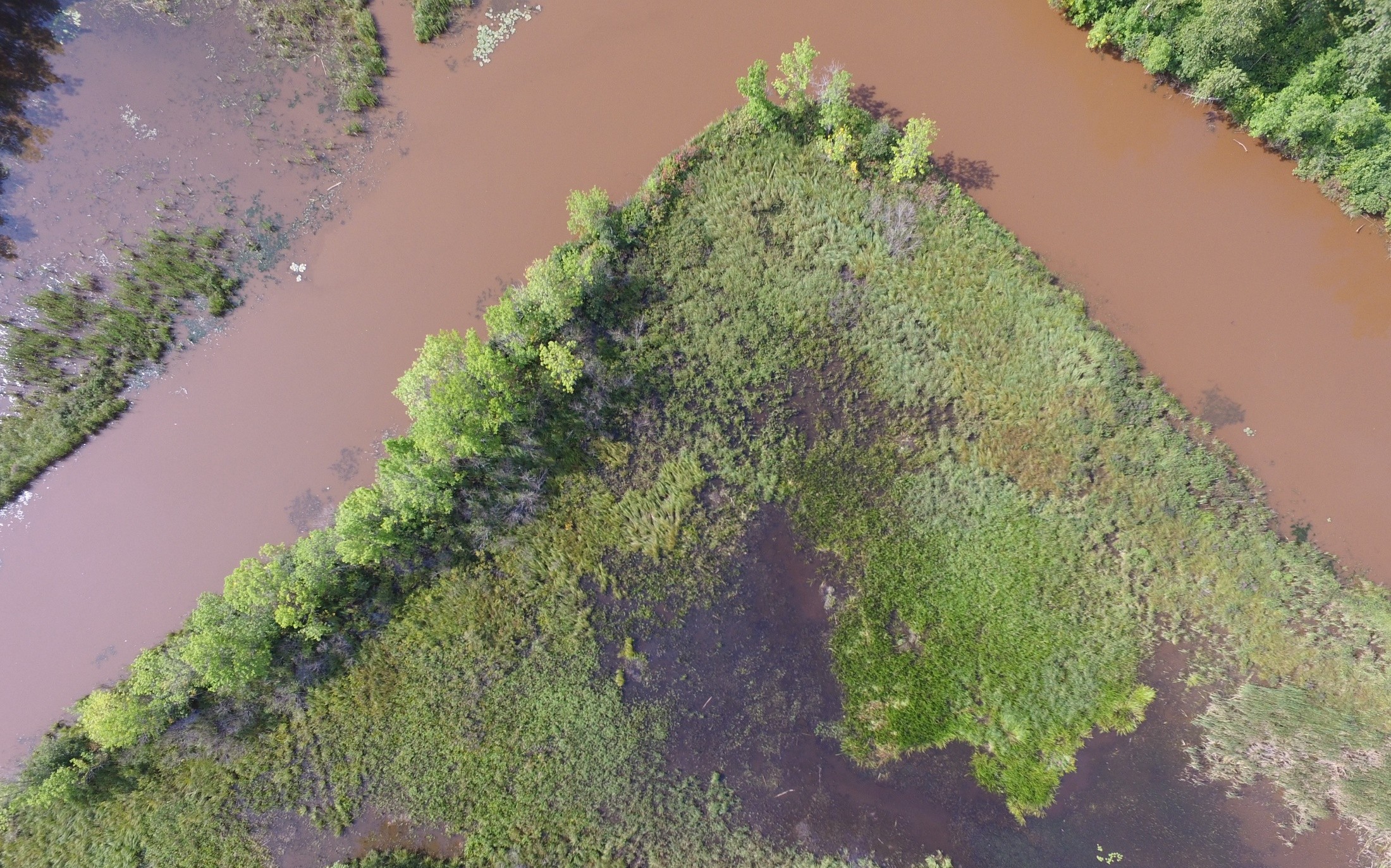
Coastal Wetland Change
The Reserve monitors the wetland plant community in Pokegama Bay every year. After ten years of surveys, Reserve scientists are now analyzing the data to see how these plants responded to a period of dramatic water level change. This research will provide insight into how the quality and composition of wetland plants in the estuary may respond to climate change impacts.
Partner-led Research

Microplastics
The Reserve supports microplastic research lead by Dr. Lorena Rios Mendoza at the University of Wisconsin-Superior. This research is aimed at understanding both the source and impacts of microplastics in the estuary and Lake Superior.

HiTIDER
The aim of the History and Topography to Improve Decision-making for Estuary Restoration (HiTIDER) Project is detecting estuarine habitat loss and opportunities for future restoration in and around National Estuarine Research Reserves. This project is funded through the National Estuarine Research Reserve System Science Collaborative and employs historical and elevation-based mapping to describe the past, current, and future condition of major estuaries across the US.